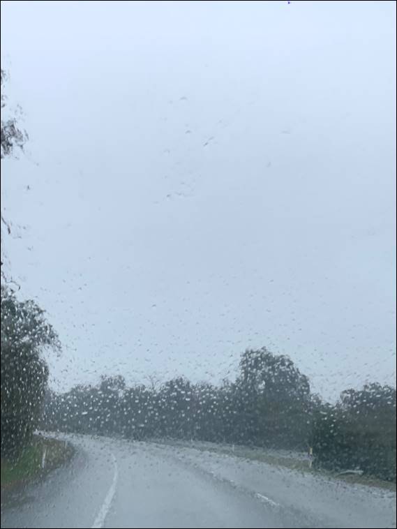
Today we had an early start with every intention of enjoying an eighteen kilometre track in the forests near Dwellingup, the aim was for us to start the walk at 8am. The forecast wasn’t great, but Lisa was prepared to risk it on the proviso that I didn’t stop too many times to take images of whatever I might find. So we set off from home at 6am and drove through belts of miserable rain, which started to clear as we got closer to our destination. The conditions were looking up, but that is when things started to go amiss:
Firstly it was hard to actually find out how to get to the start of our chosen walk. All the information gave clear names for the locations, but there were no signs and the roads that we should in theory have taken off the main drag were gated or seemed to be private. Then there was this strange feeling that we shouldn’t be here today. Finally we came across a road safety crew, as they started to put signs out indicating road closures. We eventually found out that the Dwellingup 100 was on today and that meant all the tracks were closed:
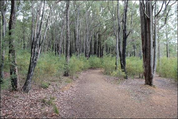
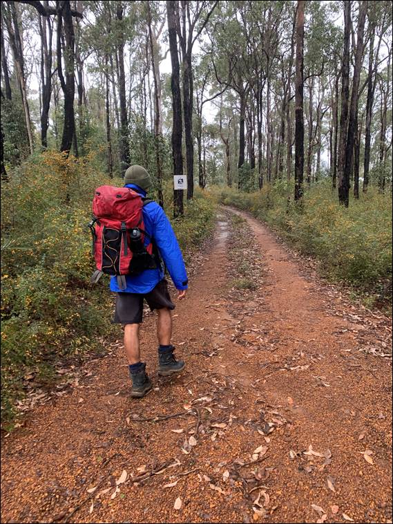
There were no signs anywhere to indicate this and the workers couldn’t give us much information, so Lisa did a web search and that is how we found out. Bummer… So we began to work our way back south and towards the inclement weather. As I drove, Lisa scrolled through possible options stumbling across the Lake Brockman Loop walk. This was described as an eleven kilometre hike and great for wildflowers. This place was well sign posted and easy to find, so we finally started walking and hour and half after we had intended:

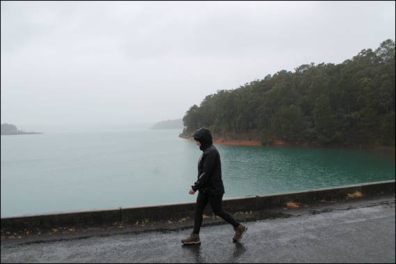
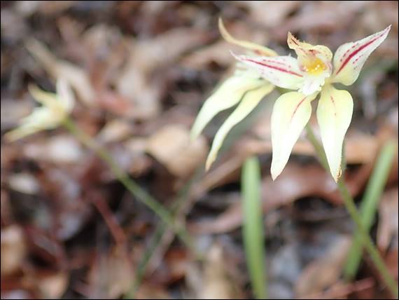
The start was promising, a lovely track that followed close to the side of the Logue Brook Dam reservoir. Making me think it is a little strange as to why it is not called the Logue Brook Dam Loop walk. The path wandered through trees and there were heaps of beautiful orange peas out in full bloom. While I took note of all the floral delights in the mid-story, I also kept an eye on the ground adjacent to the path. Early on I spotted a Short-eared Snail Orchid, and found a few more of them at various locations along the walk:
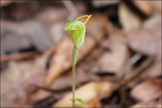
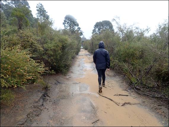
This find added to both my seasons and long term tally of orchids species found. It was a good start, and even when the rain came in it didn’t dampen my spirits. We had to cross over the crest of the dam, and as we did the rain became harder and the clouds descended. I half expected Lisa to question whether we should go on or turn back. But she never did and we continued onwards. A few cars passed us as we crossed the dam and afterwards we had to follow the road, no problem with that as I found a few Leaping Spider Orchids next to it:
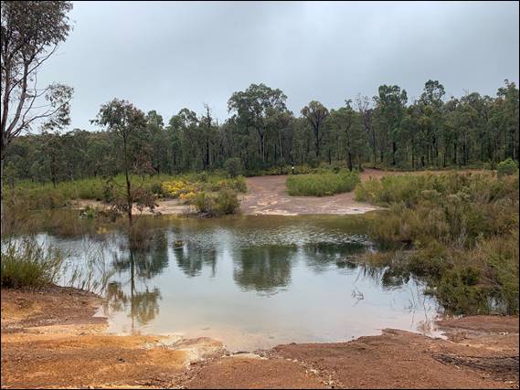
After a while we came across a shelter just off the road and where I rearranged things, as my SLR bag was getting a little soggy. Putting the SLR in the rucksack would also help with me sticking to my agreement of not stopping too often or for too long. From here there was no defined track and we had two options, follow the road or walk along the edge of the reservoir. The dam wasn’t full, I can say that as we saw that it wasn’t flowing down the spillway, so there was enough exposed land to walk between the water’s edge and the vegetation:
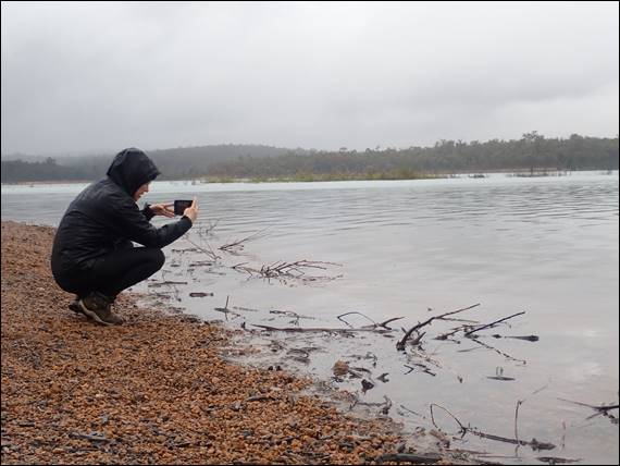
Due to walking along the side of the reservoir there wasn’t much to see, the ground comprised gravel and there wasn’t a lot of vegetation. But we carried on regardless, and it seemed that Lisa was taking more images than I was. We came across a few patches of vegetation. Nothing exciting, but we did spot a few Splendid Fairy Wrens and despite the rain we stood still and watched them for as long as they allowed us to. Apologies for the blurry image and there may be a few more to come, but the damp conditions were not in my favour photography wise:

While the reservoir was not full, to avoid needing to walk along the road we did have to skirt along narrow edges where the water lapped the vegetation a couple of times. These section added a bit of variety to an otherwise pretty plain walk. They were few and far between and most of the land along the water’s edge was bare and barren. There were also signs of water runnels eroding the exposed gravel down into the water. I’ll explain another reason for the barren gravel later on, and it may not be what you were expecting:
We had of course packed a flask of tea and food to munch on. However, since the shelter we passed early on we found no more. There were some but they were accessed off the road, and as we had walked along the reservoir to keep away from the cars we had missed them. We eventually stopped at the halfway mark, in part as there was a break in the weather and also a place that was reasonably quiet. The hot cuppa and cheese roll went down a treat, and while I searched about there wasn’t anything to report:
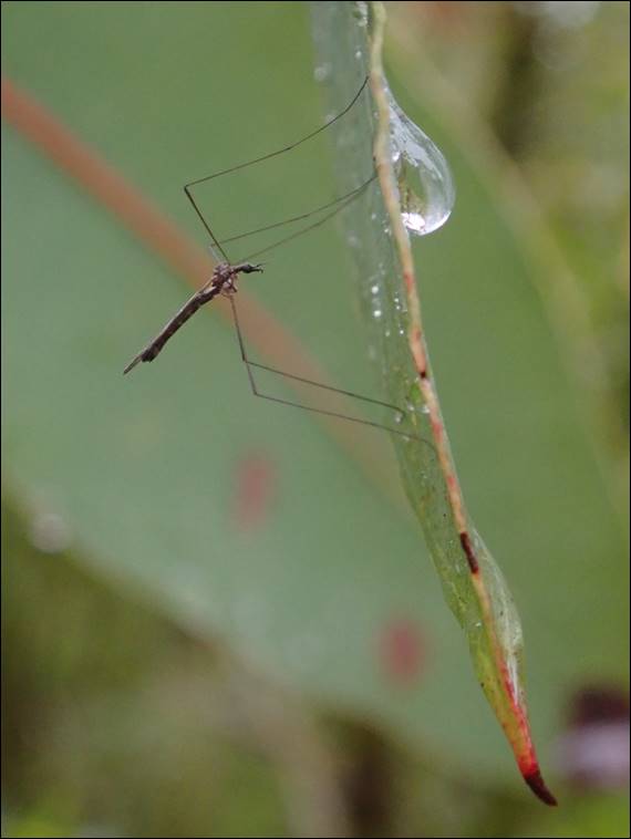
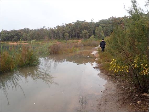
With the constant on and off again rain the mosquitoes, which were about, never really bothered us. The proof that they were about is above, an image I captured while supping on my hot tea. Lisa has an app, well she’s got stacks of them, but this one allows you to track your walks and also shows you the path as mapped by others who had been before. The mapped path on this walk was in some sections, as below, flooded out. Forcing us to take detours along the road and make use of the road crossings, located further up the creeks flowing into the reservoir:
The longer walk didn’t worry us, and it turned out to be close to fourteen kilometres in the end. It did however result in us being on the road for longer and had to keep an eye out for cars. It was surprising just how many people were out and about, in their cars. We saw no other walkers, and two people on their bikes. Around the banks people had set up large campsites and walking past these took away the feeling of being out there in nature. That might come across a bit harsh but read on:
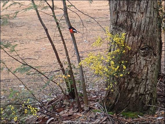
Before I explain further, above we spotted a couple of beautiful Scarlet Robins that we stopped and watched for ages. That was until the rain came down hard again, and I must once more apologies for the blurry image. There were several creeks that we had to walk further up the road to get over, and as soon as we could we looked for the smaller tracks that took us back towards the water’s edge. This didn’t however get us away from all of the cars, as quite a lot of them seemed to have the same idea as us and we had to watch out:
Several times people having fun in their four wheel drives came haring towards us, and we even spotted one person doing donuts on the gravel. The sound of deep throaty engines could be heard for quite a lot of the time and the tracks of these vehicles were etched into the bare and barren gravel. Both preventing vegetation growth and enhancing the risk of erosion. On another note I have made up for my derogatory remark about a particular orchid in my post of our last walk, by including this image of a Karri Cowslip Orchid. I also spotted a few seasonal repeats with the occasional Jug and Pink Fairy Orchids:
Overall the area was very pretty, however the track was non-descript and often bare gravel along the water’s edge. Then on both the gravel areas and the tracks through the vegetation, we had to watch out for cars. Not all of which were sympathetic to us drowned and bedraggled walkers. Added to that the multiple campsites; sound of engines and also chainsaws; and all the beer bottles and can that were littered all over the place… we can safely say we gave this walk nil point. It is not a place we felt that we would come back to. On the upside we got out, saw more orchids and some lovely birds: